Understanding urban vulnerability
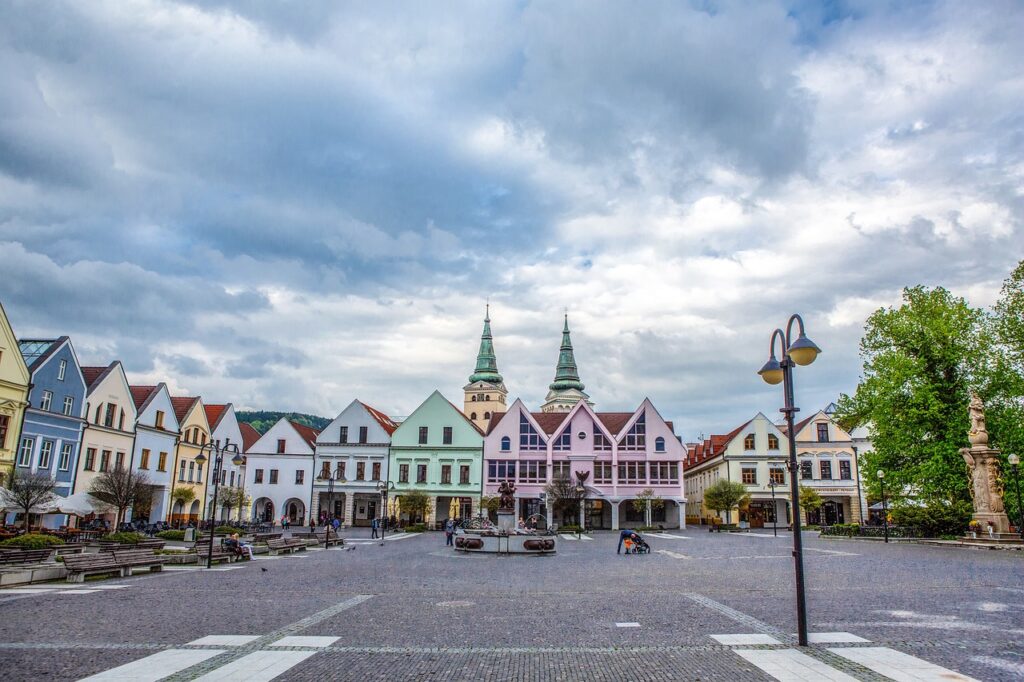
The study explores how multiple natural hazards — including heat, floods, landslides, wildfires, and earthquakes — affect cities and especially vulnerable populations with special needs. Focusing on the city of Žilina in north-western Slovakia, the researchers developed a multi-level framework that links vulnerability at the individual and building scales with broader city-wide risk assessment.
By combining diverse data sources such as Geographic Information System (GIS) mapping, orthophotos, street-view imagery and site surveys, this work identifies risk hotspots and areas where people with special needs face greater exposure or accessibility challenges during hazard events.
Insights for the RETIME project
This research aims to strengthen multi-hazard risk governance and promote socially inclusive resilience strategies. It demonstrates how small-scale vulnerability data can be upscaled to inform planning and policymaking — connecting personal and building-level risks with decisions at neighbourhood or city level.
The findings underline the importance of considering overlapping threats and including vulnerable groups — such as older adults or people with disabilities — in urban adaptation and preparedness efforts. They also show how open data and spatial tools can help design more equitable, evidence-based approaches to risk management.
We encourage to explore the publication, get in touch with feedback, and discover how its methods can inspire action in their own regions and cities
DOI
https://doi.org/10.1007/s11069-025-07722-1
Keywords: Climate change adaptation, Vulnerable groups, Critical infrastructure, Geographic information systems, Building information modelling, Žilina